GLSL Generated Aerial Imagery
November 17, 2010
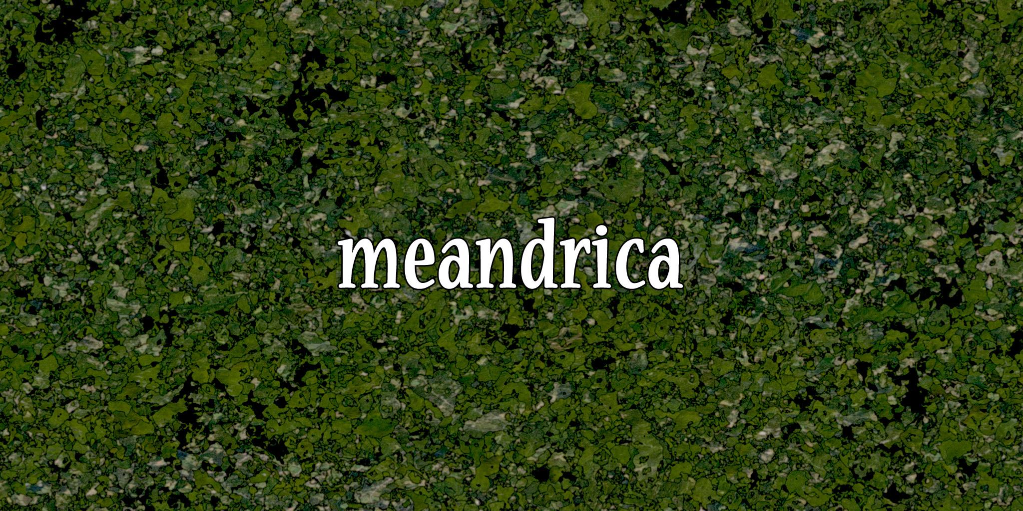
This image represents an early exploration into procedural terrain generation using GLSL shaders. The work was part of the development process for the MeandriCA project, exploring how shader-based algorithms could create convincing aerial landscape imagery entirely through mathematical processes.
Using fragment shaders, the system generates terrain features like mountains, valleys, and water bodies by combining multiple noise functions at different frequencies and amplitudes. The color mapping simulates different terrain types based on elevation and slope, creating the appearance of aerial photography without requiring any source imagery.
This approach to procedural generation allows for infinite variations of landscape while maintaining realistic geological features. The shader-based implementation ensures real-time performance, making it suitable for interactive applications and large-scale displays like the IAC video wall.
Technical Approach
The generation process uses multiple layers of Perlin noise at different octaves to create realistic terrain variation. Higher frequency noise adds detail while lower frequency noise establishes the overall landscape structure. The combination creates natural-looking elevation changes that follow realistic geological patterns.
Color mapping is based on elevation thresholds, with lower areas appearing as water or vegetation and higher areas as rock or snow. Additional factors like slope and aspect can be incorporated to create more sophisticated terrain classification.
This work demonstrates the potential of GPU-based procedural generation for creating vast, detailed landscapes that would be impossible to store or render using traditional geometry-based approaches. The shader-based method allows for real-time generation of terrain at any scale.